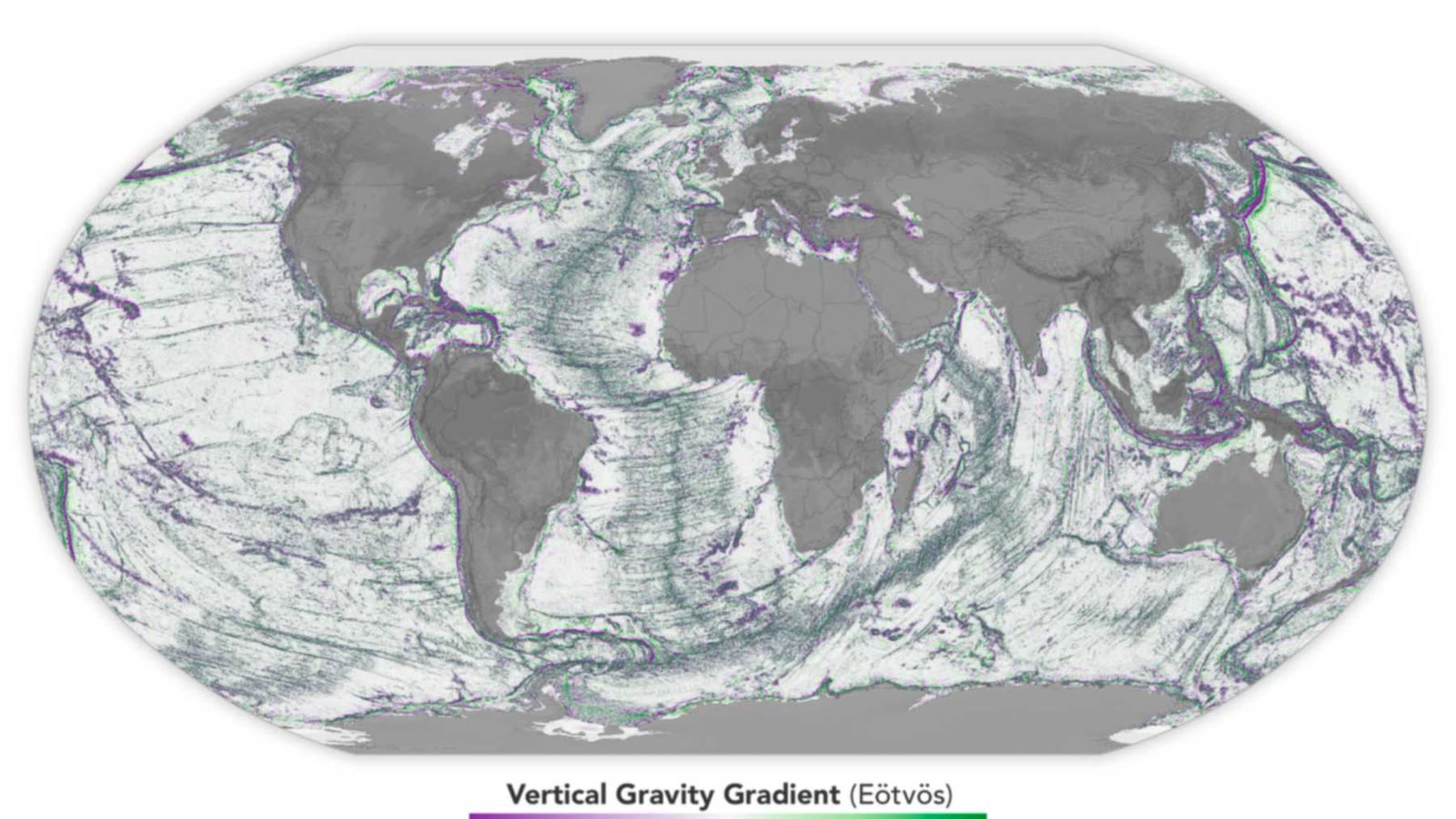
On September 8, Scott Waring published a map of the seafloor near Australia. He claimed it revealed a colossal alien base, deep underwater, and that aliens currently live there.
The map appears to show lines forming a giant structure. However, in seafloor maps, such lines can mark the paths taken by ships collecting measurements, as reported by the American website AccuWeather. The strange twist is that the dramatic appearance might actually be a byproduct of how the area was mapped.
A Massive Base, No Precise Location
Waring posted the map on his blog. According to his description, the structure spans approximately 16 kilometers (10 miles) across, and he estimated its depth to be at least 16 kilometers (10 miles). The site looked clean and well-maintained to him, leading him to claim the base was inhabited. He also wrote that the U.S. government is concealing the truth about aliens.
However, the post did not include details showing the exact location of the site. The only source he linked to was a page from an international project that creates an ocean floor map. Without a precise location, it's impossible to compare the image with measurements collected in the area.
How Lines Appear on Seafloor Maps
The U.S. National Oceanic and Atmospheric Administration (NOAA) explains that such maps can combine a general, smooth image of the seafloor with more detailed measurements. Ships collect these measurements by sending sound waves into the water to calculate depth.
Each pass of a ship covers a relatively narrow strip. Therefore, where detailed measurements end and the general map continues, a sharp boundary may appear. These lines can look like grooves or walls, even though they are merely markers of data collection—not physical structures on the seafloor.
What Remains Unknown
The deepest known point in the ocean is about 11 kilometers (7 miles) deep, less than the depth Waring estimated. NOAA explains how similar lines are created but has not examined his map. Without details identifying its location, what the map truly shows remains unknown.
Measurement strips can resemble lines etched into the seafloor. Sometimes, a map tells us first how we searched—and only then what we found.